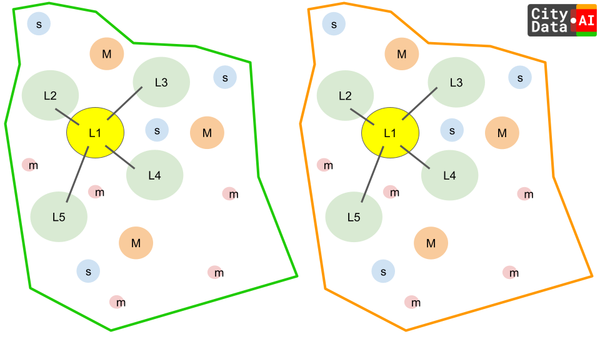
Abstract: Geofences are the cornerstones of spatial analysis, underpinning applications from park visitation to customer foot traffic measurement. However, inferences about visits become particularly intricate at the geofence's edge. This article
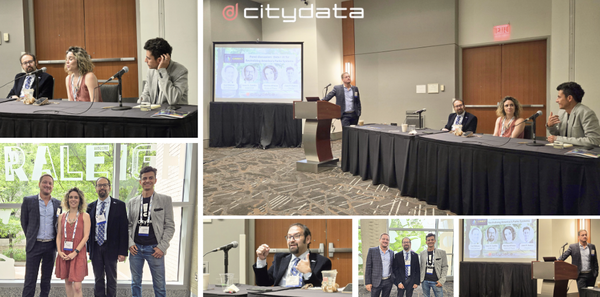
We had the incredible opportunity to host a panel discussion at Smart Cities Connect on "Data + AI for Revitalizing America's Parks Systems."
We explored how data and AI can
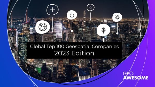
CITYDATA is Geoawesome!
Geoawesomeness announced that CITYDATA is in their Global Top 100 Geos for 2023. This is an annual list of the best geospatial companies in the world as determined by an
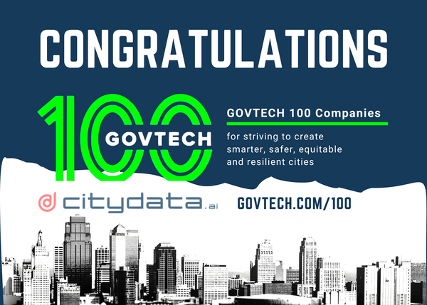
CITYDATA makes the top-100 list of government technology companies for 4 years straight.
We are delighted to share that CITYDATA has been recognized as a GovTech 100 Company for 2023! The GovTech 100
Data is to smart cities as water is to life. The pandemic has accelerated the
adoption of data in the public sector, forcing an immediate transition from
legacy software to SaaS, cloud, big
This blog post dives deep into how local government can leverage high-quality mobility big data and AI/ML for inferring visits to parks and open spaces and the dispersion movement patterns
Sign up
Smart Cities Connect (SCC) announced the Smart-50 Awards on for 2021 to
recognize the 50 best projects for smarter cities.
2021 Smart 50 Awards
[https://smartcitiesconnect.org/announcing-the-2021-smart-50-award-recipients/]
were announced on May 24,
> This blog post highlights the top-100 exemplary companies that raised the bar
for technology innovation for local and regional government, and devoted their
energies to the greater good in 2021.
> Sign
Citywide data insights dashboard spanning four departments and seven datasets
for the City of San Leandro, California, USA
CITYDATA.ai [http://citydata.ai/] has designed and developed a unified data
analytics dashboard called
> This blog posts delves into the footfall data insights and visits trends for
Scottsdale's McDowell Sonoran Preserve in Maricopa County, Arizona.
> Sign up for our webinars to learn from
This blog post discusses the role of geospatial data for advocating and measuring the essential role of parks and recreational areas in and around cities and metropolitan areas.
I recollect the conversation from June 2016 with extraordinary clarity. We had
begun our exploratory session with Tony Batalla
[https://www.linkedin.com/in/tonybatalla/], CIO at the City of San Leandro. Keen