polygon

A collection of 29 posts

CityDash for San Francisco Bay Area cities

CityDash for San Francisco Bay Area cities

C [http://lotadata.com/]ITYDATA.ai transforms time and place into actionable context for smart cities, enterprise businesses, mobile apps and wearables. STIR 2016 One of the few companies selected to join STIR

Top 5 Mobile Gaming Micro-moments

Top 5 Mobile Gaming Micro-moments

Mobile gamers are an interesting bunch. We should know. We are them. The typical mobile gaming session transpires at home and at work, through commutes, across multiple different places and venues, intertwining in-game

Making Sense of the Census: Polygons

Making Sense of the Census: Polygons

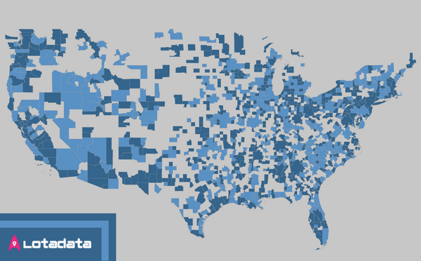
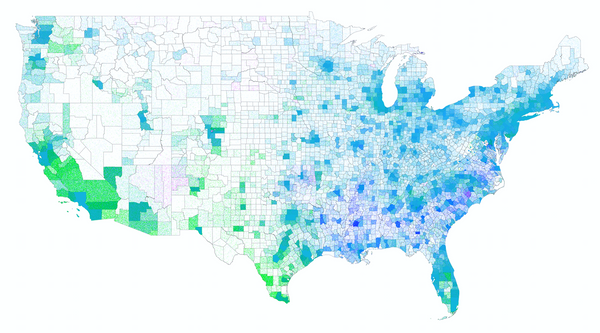
The U.S. Census Bureau [https://www.census.gov/en.html] provides a very intricate and sometimes unstructured hierarchy of geospatial geometries that link back to the U.S. demographic data. This post

Neighborhood Data Landscape: Geometry

Neighborhood Data Landscape: Geometry

Intro What neighborhood related datasets are openly available, how good are they, and how can I use them? These are essential questions for any project looking to use or understand neighborhoods. This first