ML

A collection of 68 posts

Making Cities Smarter at the White House

Making Cities Smarter at the White House

CITYDATA.ai had the distinguished honor of being invited by President Barack Obama's Office of Science and Technology Policy [https://www.whitehouse.gov/administration/eop/ostp] to the White House Smart

How the U.S. Goes to Work

How the U.S. Goes to Work

From the 1950s onward, the U.S. has been a nation of car commuters. Our country developed alongside the rise of the automobile and the present-day urban geography reflects the car's

CityDash for San Francisco Bay Area cities

CityDash for San Francisco Bay Area cities

C [http://lotadata.com/]ITYDATA.ai transforms time and place into actionable context for smart cities, enterprise businesses, mobile apps and wearables. STIR 2016 One of the few companies selected to join STIR

Making Sense of the Census: Polygons

Making Sense of the Census: Polygons

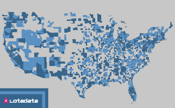
The U.S. Census Bureau [https://www.census.gov/en.html] provides a very intricate and sometimes unstructured hierarchy of geospatial geometries that link back to the U.S. demographic data. This post

We have Lift-off !

We have Lift-off !

You are cordially invited to the spatiotemporal intelligence blog by LotaData. We are the experts in location-based predictive technologies. Our data platform is open to all and free to try. Our APIs and