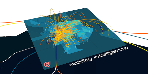
Geolocation data is an important source of real-world context and insights for
many industry verticals. GPS tends to be the dominant source of geolocation data
by volume. Our blog post this week revisits
A CITYDATA fornece inteligência de mobilidade para agências governamentais,
estabelecimentos comerciais, cidades inteligentes e operadoras de mobilidade. A
plataforma CITYDATA possui dados de mais de 1.500 cidades ao redor do mundo,
sendo
CITYDATA, the #1 company for mobility intelligence released their datasets for
Australian smart cities, government agencies, mobility operators, and real-world
businesses. Their data + Ai platform features fresh, daily, crowdsourced data
from more than
CITYDATA provee mobility intelligence para ciudades inteligentes, agencias
gubernamentales, operadores de movilidad y empresas del mundo real. La
plataforma de CITYDATA cuenta con datos de más de 1500 ciudades de todo el mundo
Data is to smart cities as water is to life. The pandemic has accelerated the
adoption of data in the public sector, forcing an immediate transition from
legacy software to SaaS, cloud, big
> This blog post highlights the top-100 exemplary companies that raised the bar
for technology innovation for local and regional government, and devoted their
energies to the public sector.
2022 began in spectacular
Yala Province Municipality has the distinction of being the first administrative
zone in Thailand to harness the power of mobility big data and movement
intelligence to control the spread of COVID-19.
On August
HO HO HOLIDATA! It’s that time of the year again. In the spirit of giving, we’re
offering everyone free access to mobility data insights for the next 4 weeks
until January
2021 was a stellar year at CITYDATA [https://citydata.ai]. We became the leading
provider of mobility intelligence for smart cities. Our data + Ai platform
evolved into a collection of apps, SDKs, APIs
The United States Government, National Geospatial-Intelligence Agency (NGA)
provides geospatial intelligence (GEOINT) in support of the U.S. military,
allies, and homeland security organizations. The analysis of satellite imagery
and geospatial data to
> This blog posts delves into the mobility data and trip hop movement patterns for
one of the largest metropolitan region in Australia.
> Sign up for our webinars to learn from our
> This blog posts delves into the mobility data and trip hop movement patterns for
the largest metropolitan region in Australia.
> Sign up for our webinars to learn from our data scientists