UniverCity Council Podcast Series
Guest: Prof.Chirantan Chatterjee
IIM-Ahmedabad & Stanford University
Hosts: Carl Nielson and Apurva Kumar
UniverCity.ai and CITYDATA.ai
Time Tagged Excerpts:
> 4:20 [https://youtu.be/0C1ubfy8njI?
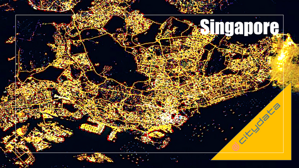
> This blog posts delves into the mobility data and trip hop movement patterns for
Singapore, the financial capital of Asia. The mobility data referenced in this
blog post are published as an
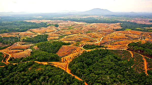
> This blog post and case study, authored by our partner Earthqualizer, discusses
the usage of geospatial data and machine learning for tracking, protecting, and
reversing the impact of palm oil deforestation in
> This blog posts delves into the mobility data and trip hop movement patterns for
the largest metropolitan region in the Americas.
> Sign up for our webinars to learn from our data
> This blog posts highlights the newly launched CITYWORKS mobile chatbot app for
engaging with and alerting field workers and remote employees based on their
geolocation.
> Sign up for our webinars to
> This blog posts delves into the mobility data and trip hop movement patterns for
one of the largest metropolitan regions in the United States.
> Sign up for our webinars to learn
> This blog posts delves into the anonymization and aggregation techniques for
mobility data for govtech, smart city, and civic use cases.
> Sign up for our webinars to learn from our data
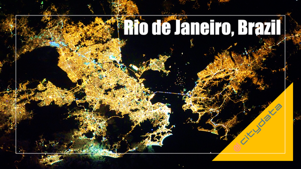
> This blog posts delves into the mobility data and trip hop movement patterns for
one of the largest metropolitan regions in Brazil.
> Sign up for our webinars to learn from our
> This blog post is about the newly formed UniverCity Council, it's mission,
objectives, and participation criteria.
> Sign up for our webinars to learn from our data scientists and geospatial
> This blog post highlights the ready-to-use census open data with over +500
searchable demographic filters for the United States, Canada, Mexico, Brazil,
Italy, Spain, UK, and Singapore, that can be joined with
Join our webinars to learn from our data scientists and geospatial experts.
They
will show you how geospatial intelligence can be used in the most
cost-effective
way to measure, analyze and advocate local
The Data for Humanity initiative helps government agencies & health researchers with people movement analysis and geospatial dashboards related to COVID-19.