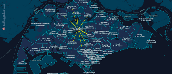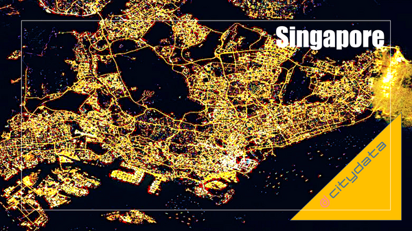
> This blog posts delves into the mobility data and trip hop movement patterns for
Singapore, the financial capital of Asia. The mobility data referenced in this
blog post are published as an
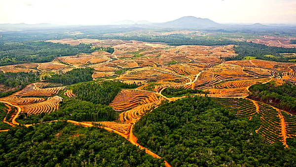
> This blog post and case study, authored by our partner Earthqualizer, discusses
the usage of geospatial data and machine learning for tracking, protecting, and
reversing the impact of palm oil deforestation in
Please complete the form on this page to sign up for the UniverCity Council, an
advisory board for public + private + academic data collaboration for civic
innovation on a global scale, hosted by CITYDATA.
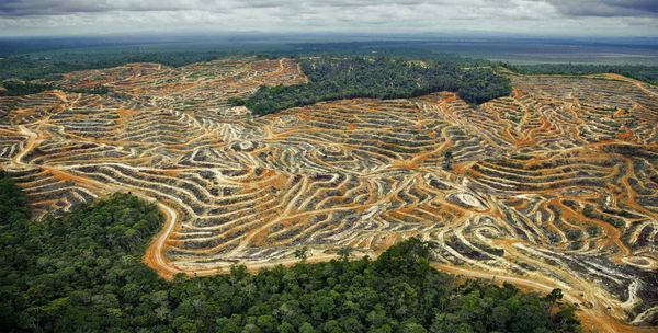
> This blog posts delves into the movement patterns between the palm oil
plantations and the refinery mills in Sabah, Malaysia.
> Sign up for our webinars to learn from our data scientists
The Data for Humanity initiative helps government agencies & health researchers with people movement analysis and geospatial dashboards related to COVID-19.
McKinsey estimates that today’s car has the computing power of 20 personal
computers, features about 100 million lines of programming code, and processes
up to 25 gigabytes of data an hour. While