The United States Government, National Geospatial-Intelligence Agency (NGA)
provides geospatial intelligence (GEOINT) in support of the U.S. military,
allies, and homeland security organizations. The analysis of satellite imagery
and geospatial data to
This blog posts uses live demos to explain how to measure and correlate people-movement patterns with COVID-19 propagation patterns.
This blog post puts the spotlight on our new initiative called Data for Humanity and our new geospatial dashboard to measure the movement patterns of people across 11 countries.
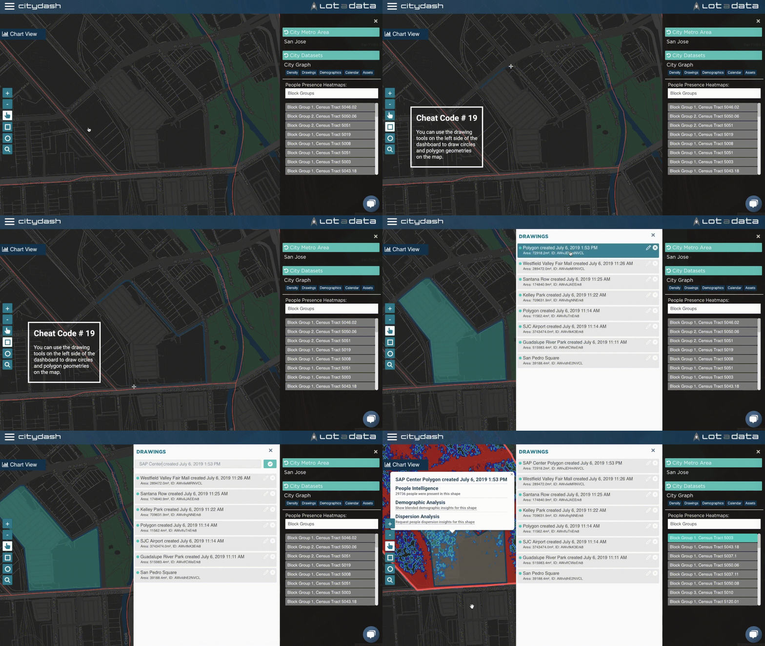
Break into the top 20 with Cheat Code #19. This awesome shortcut will uplevel
your dashboard skills and turn you into a geospatial pro! As you know already,
CityDash.ai is the ultimate
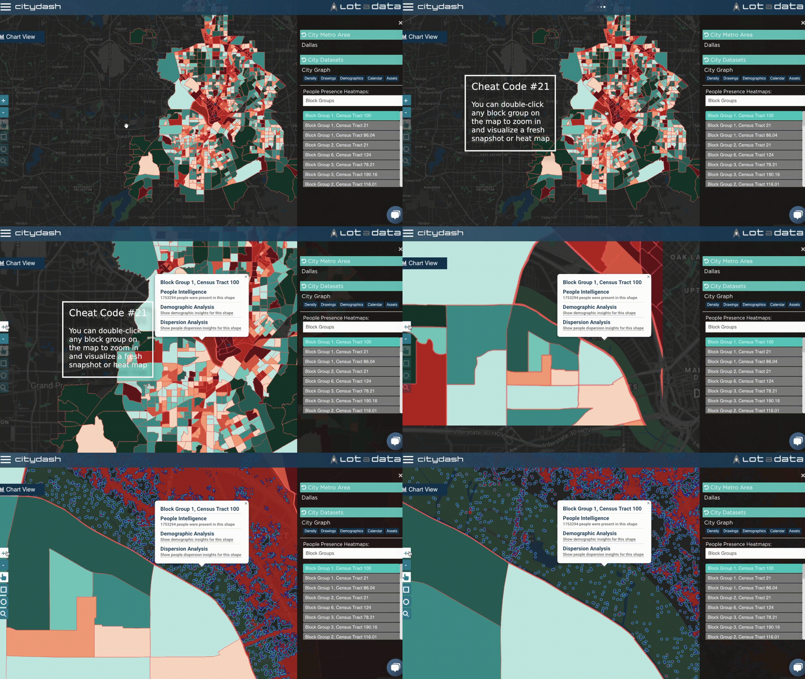
CityDash.ai is the ultimate platform for anonymized and aggregated daily data
insights about people presence, activity, and movement for every block and every
neighborhood in your city. But did you know that
We are delighted to share that CITYDATA.ai made the prestigious GovTech 100 list
for 2019. You might recollect that we were on the 2018 list as well.
What is GovTech 100 ?
The
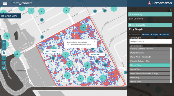
I recollect the conversation from June 2016 with extraordinary clarity. We had
begun our exploratory session with Tony Batalla
[https://www.linkedin.com/in/tonybatalla/], CIO at the City of San Leandro. Keen